How to prepare:
The North Coast is no stranger to the winter windstorm. It could be a “pineapple express” bringing high winds and copious rain, or an icy windstorm from the north.
Often high winds that reach over 100 miles an hour at the headlands knock out the power. Fallen trees can close the major highways that connect the Coast to inland resources. Long distance phone lines and cell phone service can be interrupted. The resulting isolation – harken back to pioneer days – means residents must be self-reliant for a period of time until power and other services are restored. It can take longer here than urban environments.
The natural environment that attracts many nature-lovers can turn against local residents during a storm. Cape Meares is a community blessed with a lake, bay and the ocean. The beach can be dangerous as debris is tossed ashore from high waves. We have only two ways to evacuate Cape Meares and they both have been impassible in the past with high wind damage. These roads to Tillamook are susceptible to land slides, flooding, falling trees, and downed power lines. Our area can easily be isolated from cities, both North and South.
Unlike other types of disasters, we usually have a few days of warning and local residents have a lot of experience with powerful wind storms. Over the years, local residents and businesses have acquired generators and know to get them fueled and in place before the storm hits. During the unprecedented wind storm that lasted for several days in December 2007, neighbors frequently banded together to check on each other, share food resources, and share generators to help maintain frozen goods. This is what makes Cape Meares a special place to live.
King Tides
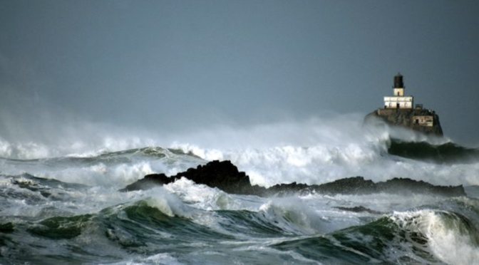
The Oregon Coast is known for its extravagant headlands, rugged shores and dramatic scenery. It draws visitors from all over the world to experience its beauty. Although many people come to play on the beaches of Oregon in warmer months, storm watching in the winter has its own part to play in the magic of the Coast. Particularly in December, January, and February, ferocious Pacific Ocean waves roll in to pound the Oregon Coast. When the storms are at their peak, howling winds and towering waves drive spectacular walls of water onto the beach and against the bluffs. Not only does Cape Meares enjoy its fair share of storm days, every winter tides on the Oregon Coast get higher than other times of the year. They occur when the Moon’s orbit is closest to the Earth, the Earth’s orbit is closest to the Sun, and the Sun, Moon, and Earth are in alignment.This alignment increases their gravitational pull, which affects the tides. The official term is perigean spring tides, otherwise known as King Tides. These tides are quite the sight to see and bring visitors to the coastline to photograph, view, and bask in the amazing power of the ocean. King Tide season is usually during a few days in November, December, and January. Like with storm watching While it is a wonderful sight to see, it is imperative for spectators to observe this sight from a distance.
