Water Conservation Resources & Information
How to Harvest Rainwater from Your Roof
OSU Rainwater Harvesting Cisterns
Oregon Water Resources Department : Drought : Drought : State of Oregon
Saving Water Outside Your Home
Saving Water Inside Your Home
Oceanside Water District website
Meares Lake Monitoring Update August 2025
The Lake Team continues to learn more about Cape Meares Lake. Simone Goldfeder has mapped the lake catch basin and streams flowing into the lake, and we continue to monitor water quality parameters as well as measuring water level.
We maintain communications with key stakeholders at DEQ and ODFW – Jason Kelly and John Harland went out with Mike Sinnott of ODFW to inspect native and invasive weeds. Going forward, we plan to set up more regular meetings and are exploring adding bacteria and nutrient to our sampling plan.
For more information about the Lake Monitoring Project contact John Harland.
April 2025 Update
By Steve Quinn
The Cape Meares Lake Committee has been making progress on several of its action items recently, including connecting with our partners, beginning lake water quality measurements, and planning for next steps. Recent meetings with representatives of Oregon Department of Fish & Wildlife, Department of Environmental Quality (DEQ), and the Tillamook Estuaries Partnership have been positive and productive, including exploring shared goals, brainstorming resource opportunities, and bringing our processes and expectations into closer alignment.
Committee Chair John Harland was able to borrow test equipment from DEQ to begin active monitoring of lake conditions. He is looking initially at temperature and conductivity, with plans to do chemical and bacterial testing soon. John will be training other committee members in testing procedures later this month to help ensure data gathered are reliable and helpful for sharing, and will work with them to overlay sampling maps with those showing depth, flow, and vegetation levels.
Committee member Kevin Scaldeferri provided an introduction to research opportunities available through eBird (an online database of bird observations) that might help the committee identify several bird species that can be monitored as additional indicators of lake health and change over time. Possible uses of iNaturalist also were discussed for identifying and tracking non-bird neighbors that share the lake with us.
Several opportunities for community education and engagement have come to light, including better and more active plant identification (especially watching for invasive species such as Eurasian Watermilfoil), continued vigilance around the washing and licensing of boats used in the lake, and perhaps participation in the lake monitoring program itself, either taking controlled measurements from boats or piers or logging observations in eBird and/or iNaturalist.
This small but dedicated committee is looking to expand its active membership as well as to engage community members more broadly. To discuss joining the committee contact John Harland.
March 2025 Update
- Meeting occurred with DEQ (York Johnson) and the Tillamook Estuary Partnership (TEP)–DEQ will send John Harland sampling plans that can be tracked in DEQ’s system and will loan CM monitoring equipment; samples for bacteria levels can be tested by TEP for about $10-$12 per sample
- Steve Quinn and Jason Kelly will meet with ODF&W Mike Sinnott at the end of this month to discuss their thoughts on the lake (vision, roles, monitoring, milfoil, etc.)
Defining Lake Health March 2025
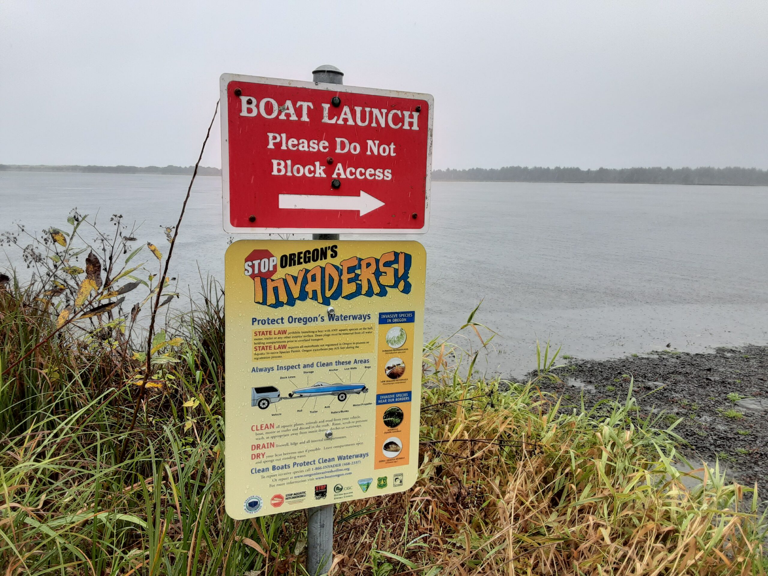
Protect Oregon’s Waterways

October 31, 2024 – ODFW posted the Protect Oregon’s Waterways sign at Cape Meares Lake boat launch. This is an important reminder to prevent the spread of Eurasian Watermilfoil and other invasive species.
October 14, 2024 – The CMCA Lake Study Project was approved by the CMCA Board of Directors, and the Lake Study Committee moves forward with the project activities.
Cape Meares Community Seeks to Study the Impact of Human and Natural Factors on the Health of Cape Meares Lake and Wetlands
A CALL TO ACTION
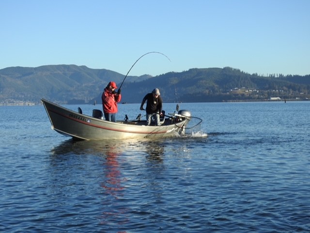
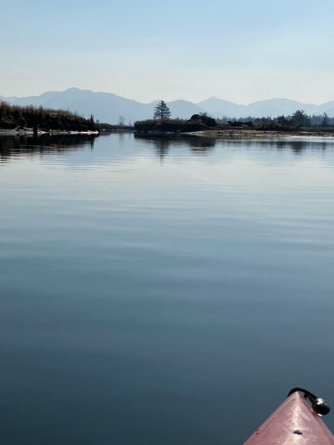
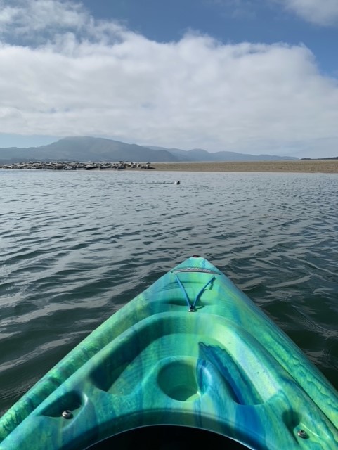
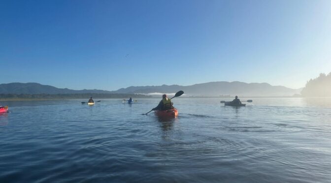
The Cape Meares Watershed includes Coleman Creek, Cape Meares Lake and the surrounding wetlands. For many who live in and visit Tillamook County, Oregon, the Lake is a special place. It provides food and shelter for life in the natural world AND supports various human activities like kayaking, boating, swimming, hiking, birding, angling, hunting, fishing, painting, photography, and scientific research.
As they enjoy this area, some Cape Meares residents see changes that lead to questions like:
● What types of wildlife species, both resident and seasonal, live in the Lake and wetlands?
● Which riparian and aquatic plants can be found in the Lake across the seasons?
● What are the qualities of the water in the Lake (e.g., salinity, temperature, depth) and how are they affecting life in and around the Lake?
● How is human activity affecting the health of the Lake (or not)?
● Is the Lake transitioning to a wetland (or not)?
● How is the Lake functioning within the Watershed?
● Which groups and individuals have a vested interest in the Lake (” stakeholders”) and what are their perspectives on the current and future utilization of this resource?

August 2024 Update
August 5, 2024, CMCA was notified by Oregon Department of Fish and Wildlife that the herbicide treatment would be conducted throughout the entire lake on August 7, 2024.
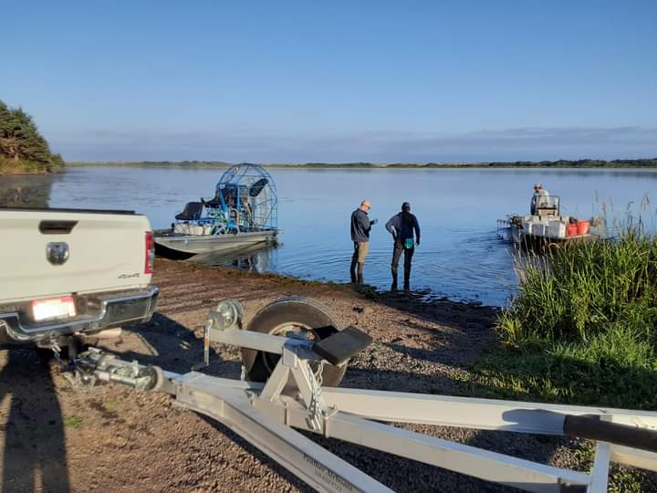
Background on the ODFW response to invasive Eurasian watermilfoil
Oregon Fish and Wildlife Assistant District Fish Biologist Michael Sinnott presented, at the May 2023 CMCA meeting, the ODFW plan to apply chemical treatments to reduce or eradicate invasive Eurasian watermilfoil in Cape Meares Lake. OFW Presentation Cape Meares Lake Weed Treatment May 2023 – OFW Cape Meares Biobase Bath Map – Invasive Chemical Treatment Information
On July 13, 2023, OFW Assistant District Fish Biologist Mike Sinnott and the contractor were prepared to treat Cape Meares Lake and were surprised to find “the Eurasian watermilfoil seems to be all but absent. There were very few milfoil plants present in the lake. We are not sure what the cause is, most likely is that it is just behind in its growth cycle this year possibly due to cold water temperatures in the early spring. The contractor noticed that the lily pads are just starting to grow as well. It is very strange being as the lake has been infested with this plant for the past 4 years (including in March 2023 when we had the survey done) that it is now suddenly absent; neither OFW nor the contractor has seen anything like this before.” OFW postponed the treatment, as there were not enough milfoil plants to make it effective at this time. OFW will be monitoring the lake closely and if the milfoil comes back (or grows) OFW will treat quickly. Just to be clear, there has been NO treatment of the Cape Meares Lake this far by ODFW or Aquatechnex, LLC.
March 2024 Update
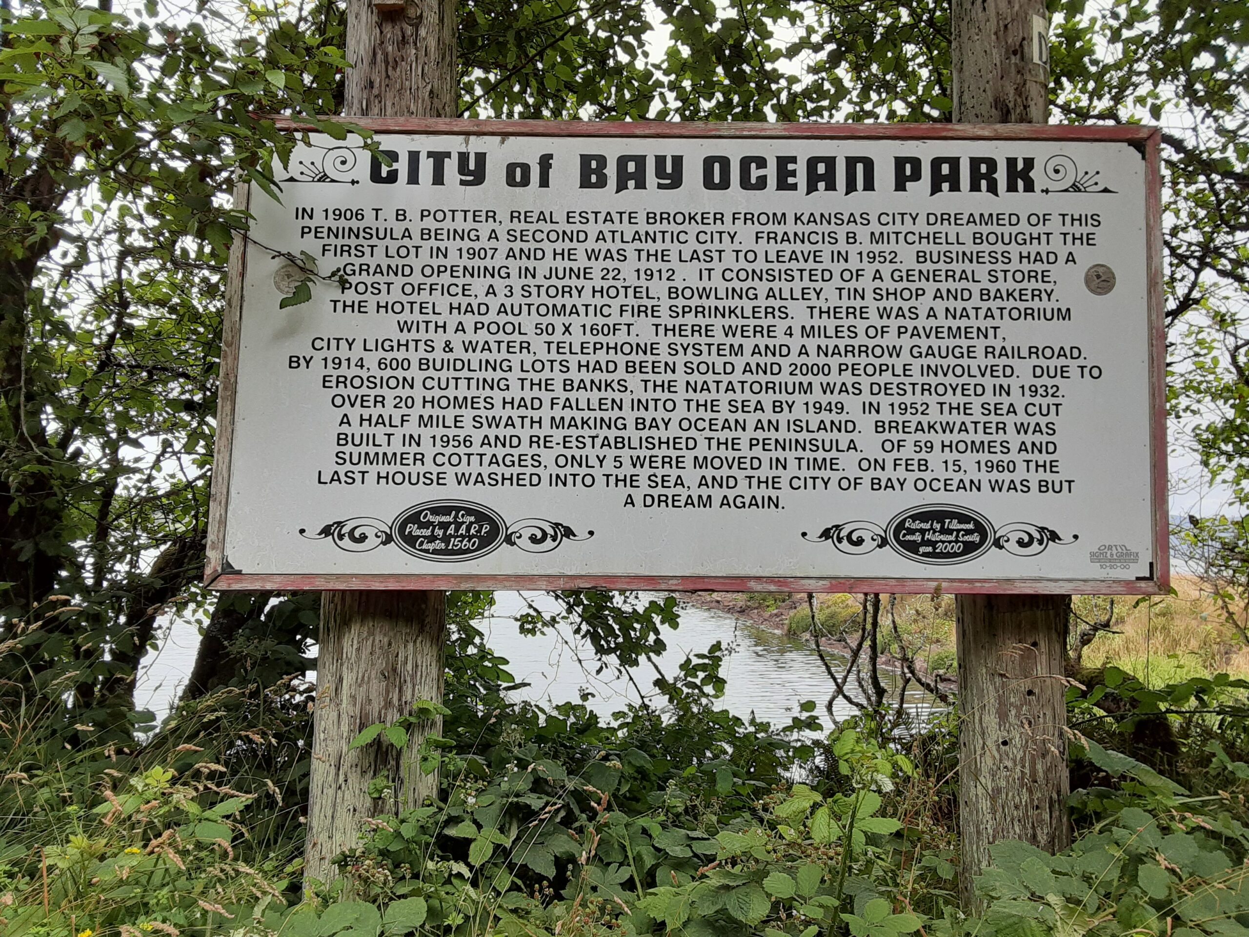
Simone Goldfeder and Miriam Fultz have been researching the history of Cape Meares Lake, Bayocean Spit, and Tillamook Bay. They presented the preliminary results of their research at the February CMCA meeting and at the lake team meeting in March 2024. Pete Steen reported addition historical background and current research on Bayocean spit.
Reports & Resources
Waste, Water, Watershed – September 2024 by Simone Goldfeder
Cape Meares Watershed, Land, and Lake: Past – Present – Future February 2024 by Simone Goldfeder and Miriam Fultz
History of Cape Meares Lake by John Harland

December 2023 – January 2024 Lake Team Activities
Members of the Lake team met in December and January. John Harland and Wendy Burroughs met with Manual Padilla with Oregon Solutions and Tillamook County Commissioner Mary Faith Bell. It was agreed that the CM Lake Team would get back to Commissioner Bell with an outline for the proposed Cape Meares Lake Stakeholder meeting or Community Conversation about Cape Meares Lake.
Update November 2023
The Lake Management Team led by John Harland is working with Oregon Solutions to interview potential stakeholders for this project. The Team has proposed using these questions to interview potential stakeholders.
What are your responsibilities for and interests in Cape Meares Lake? Would you be willing to participate in developing a Lake Management Plan?
What do you see as the main uses and benefits of a healthy Cape Meares Lake? What are your concerns about lake health. How will the lake change in the next 20 years?
What are the indicators of Cape Meares Lake health that you use or would like to use? Do you collect this data? If so, will you share?
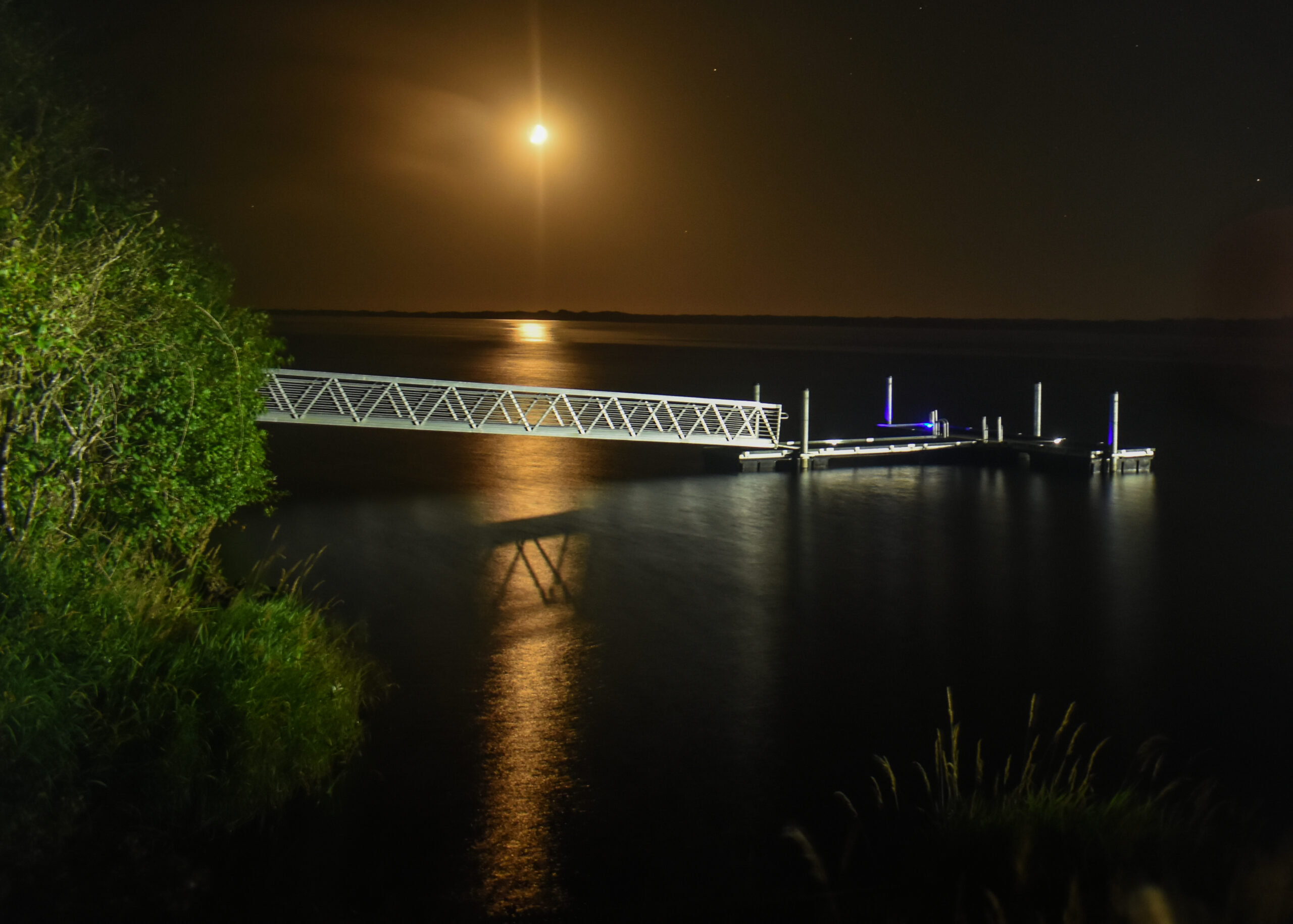
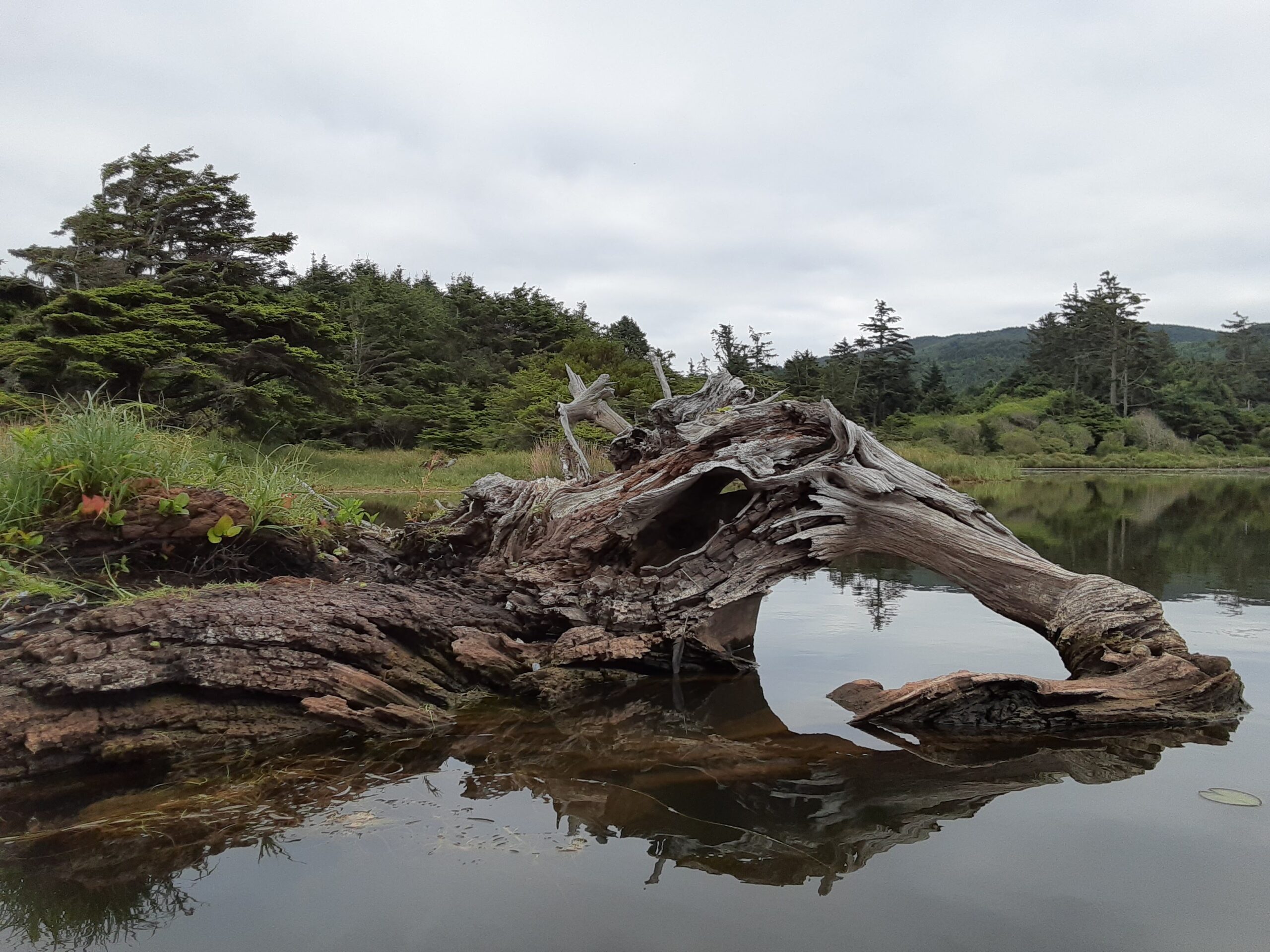
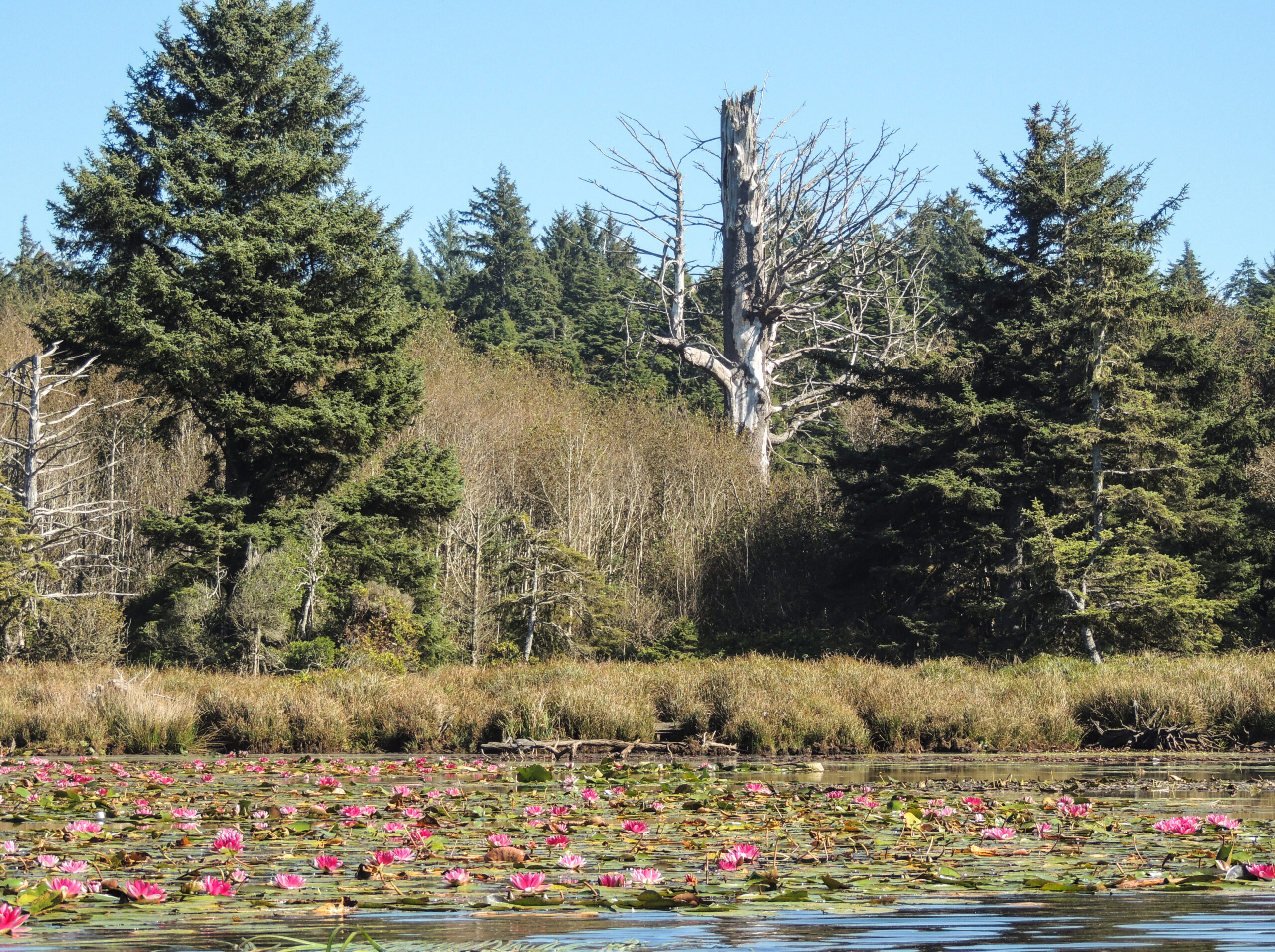
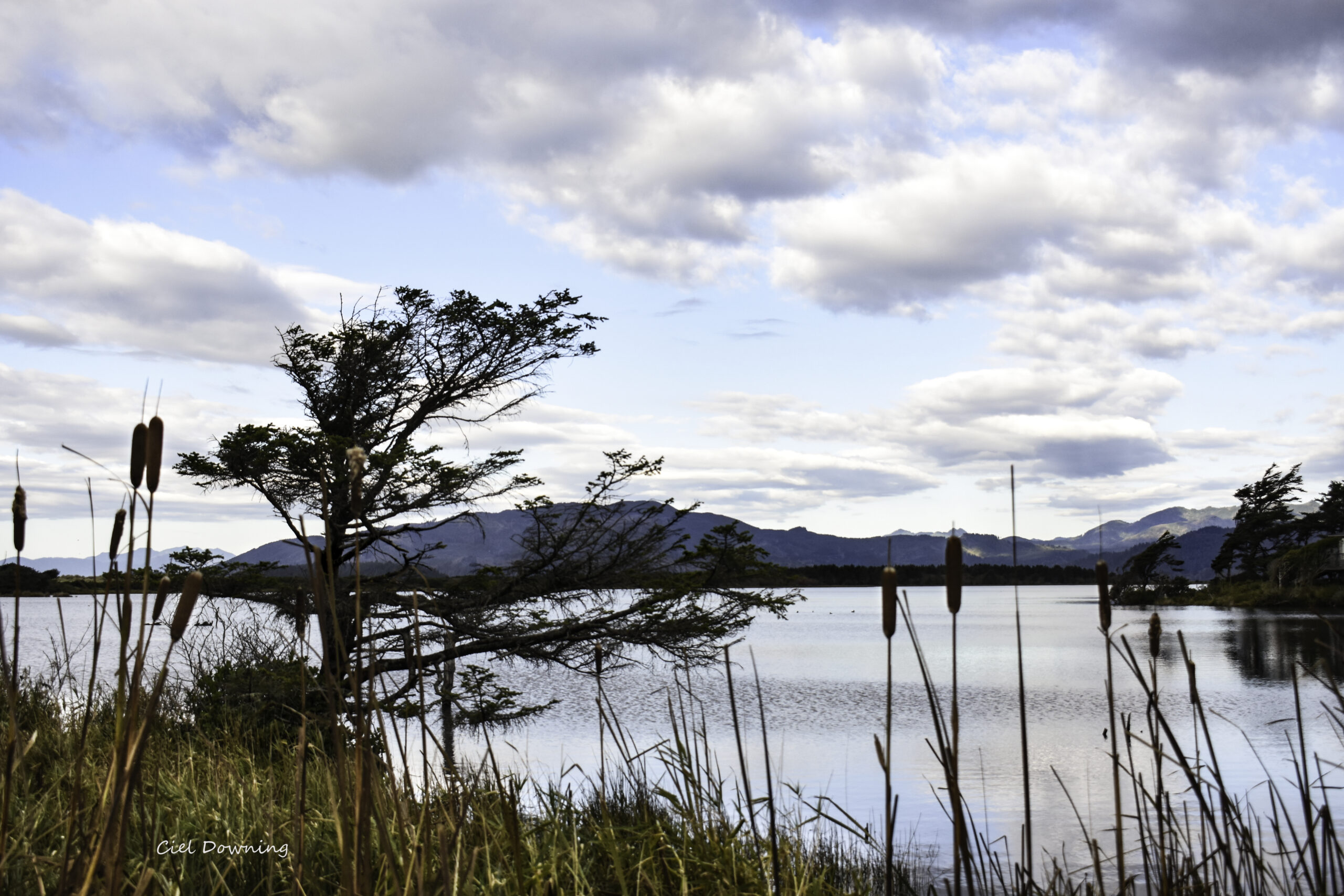
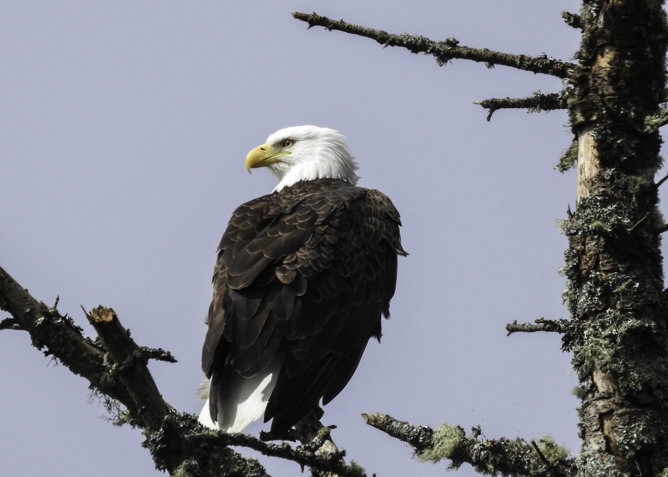
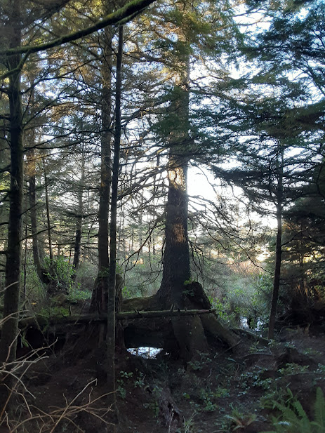
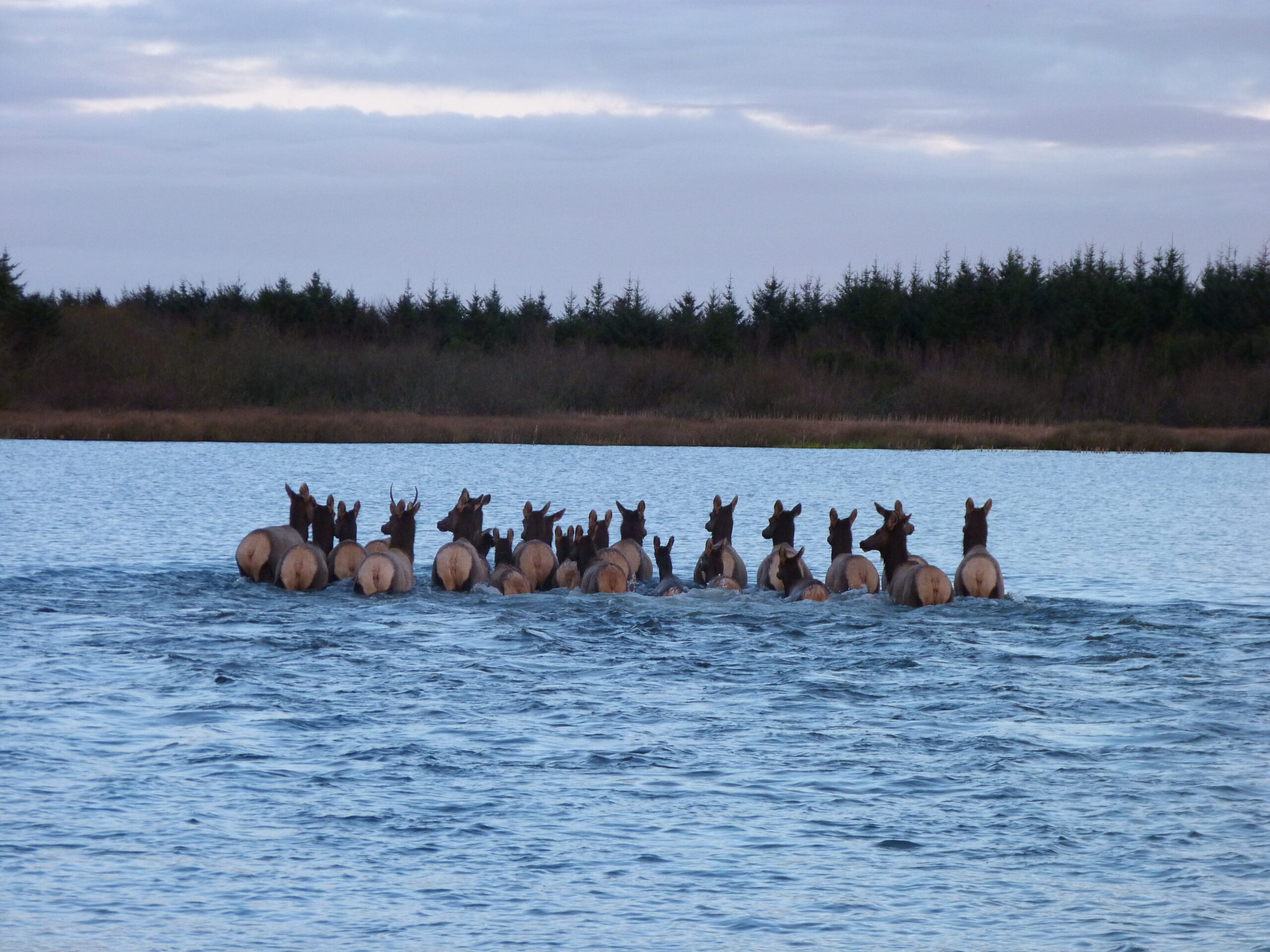
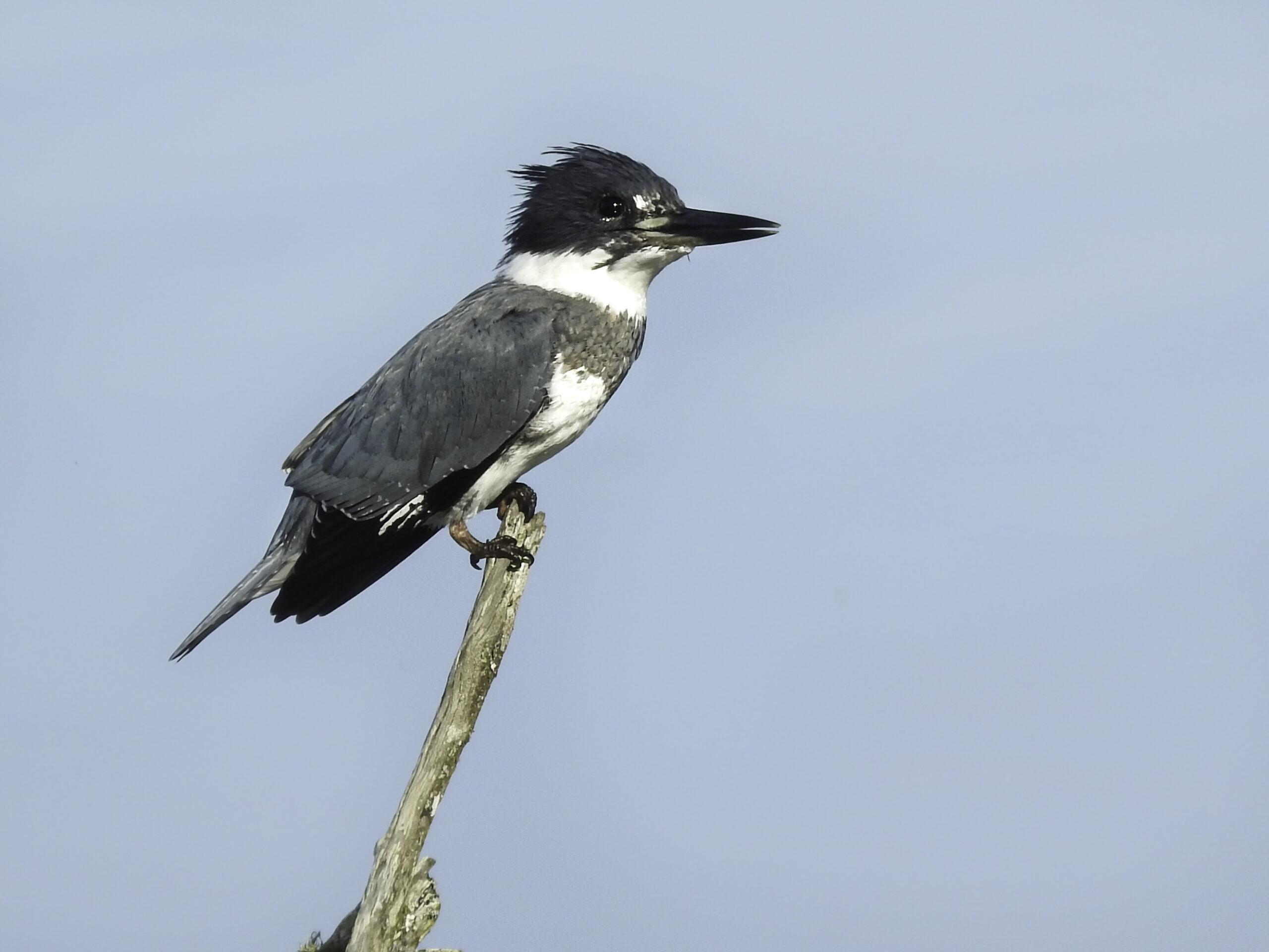
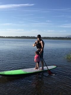
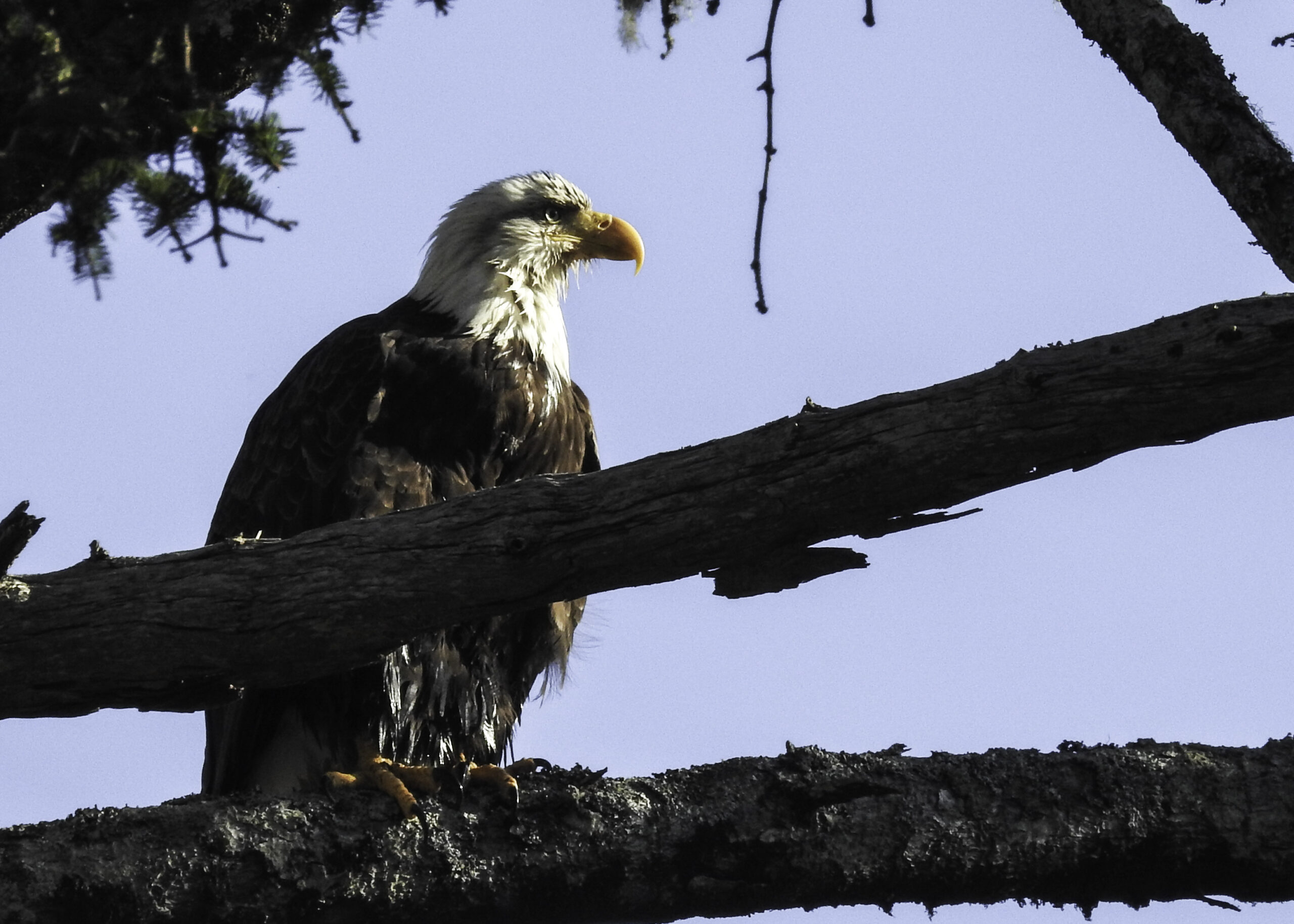
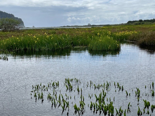
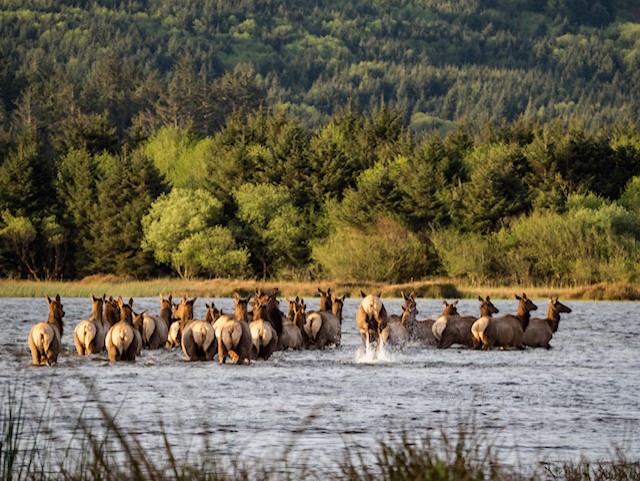
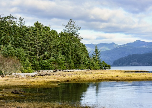
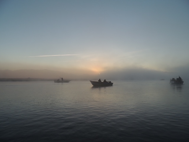
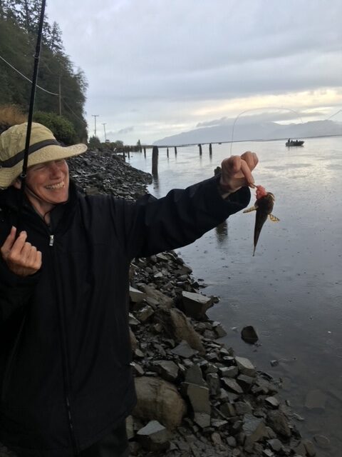
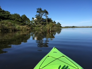
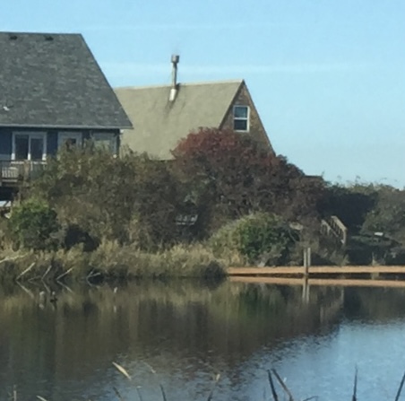
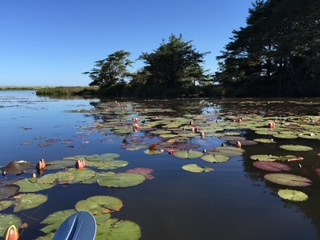
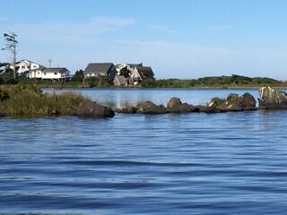
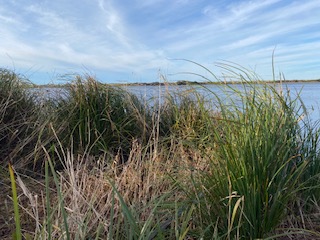
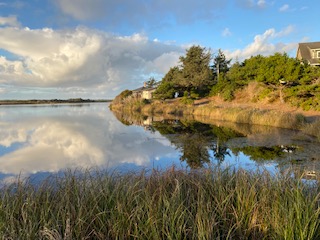
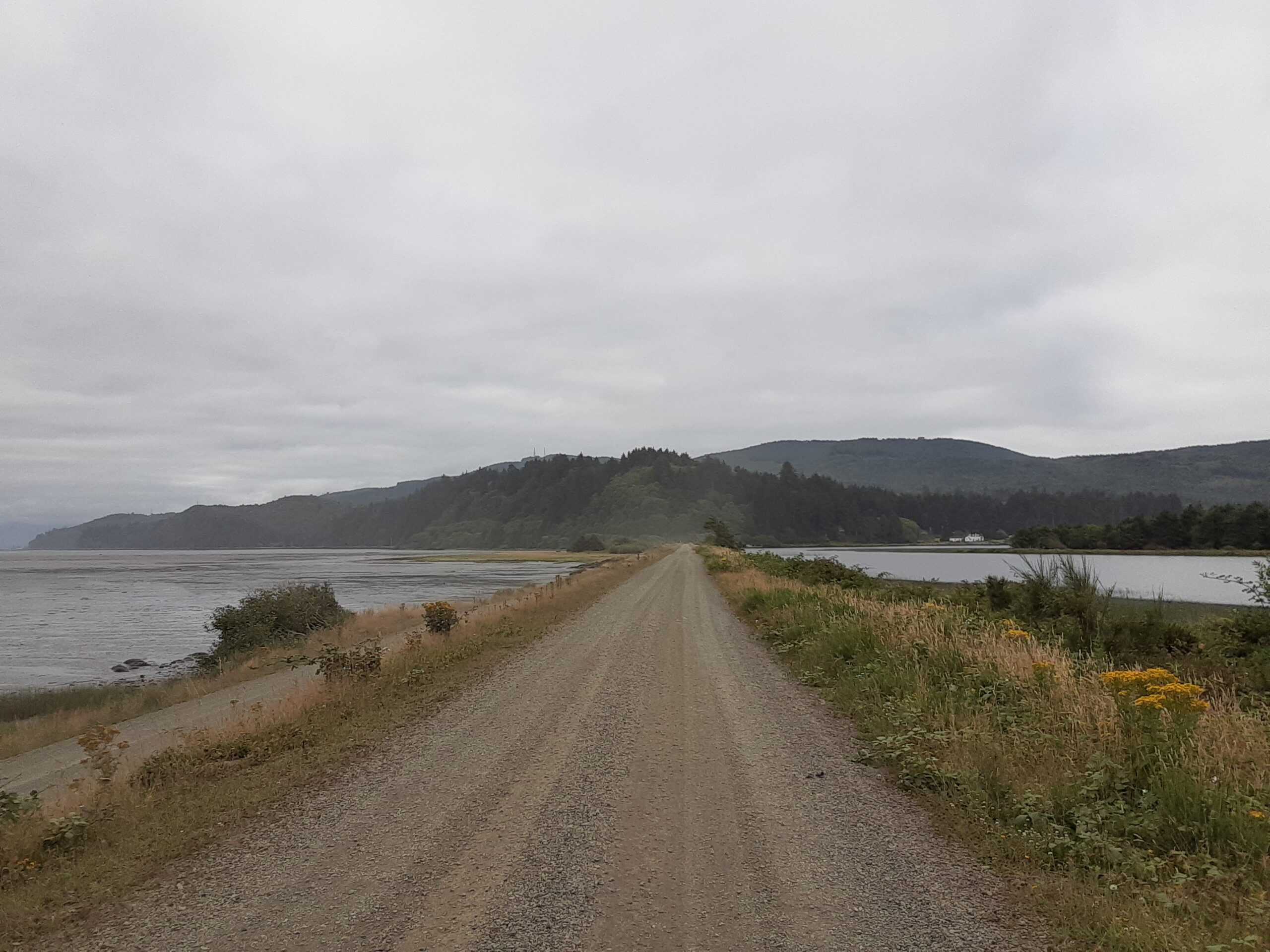
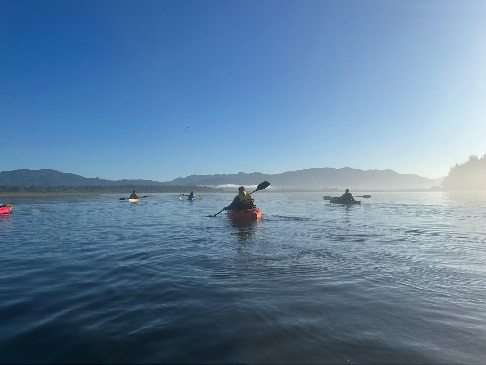
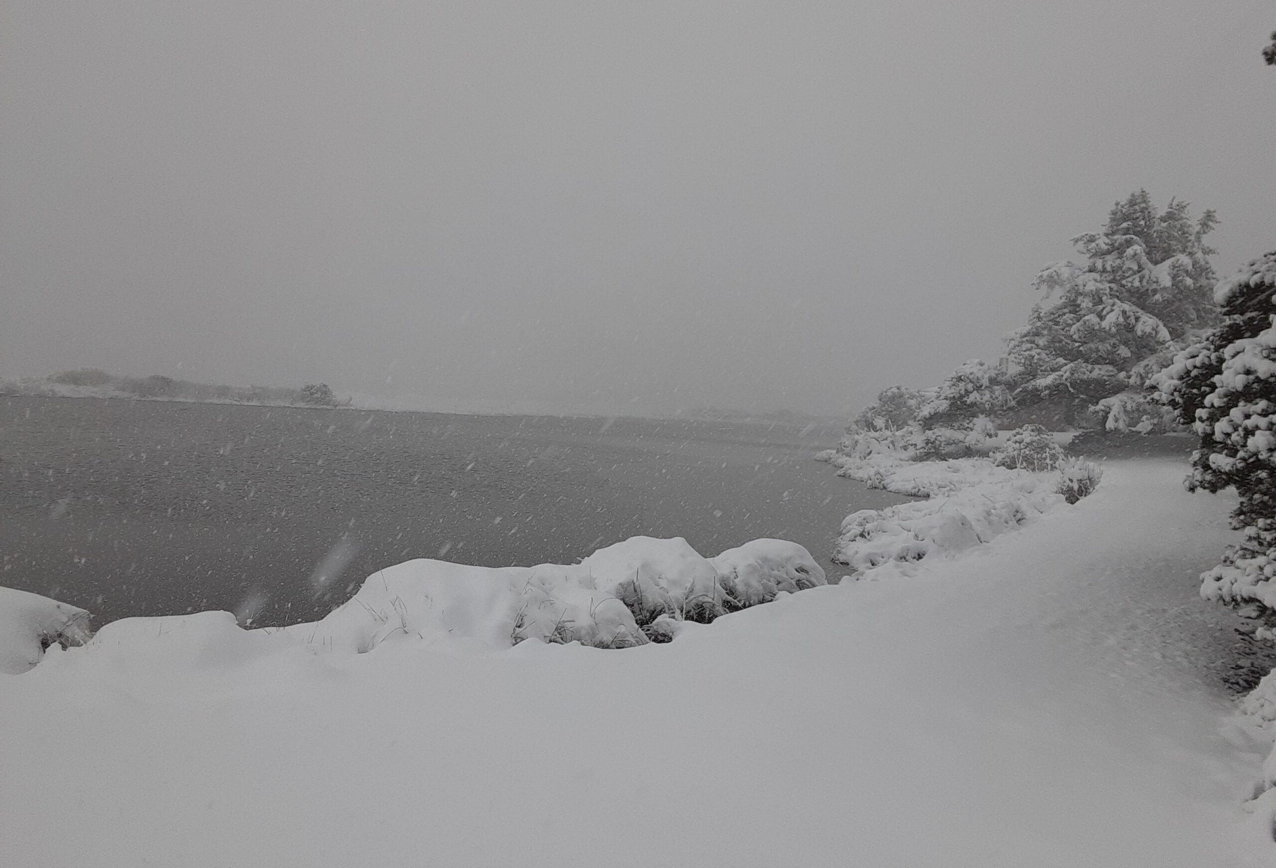
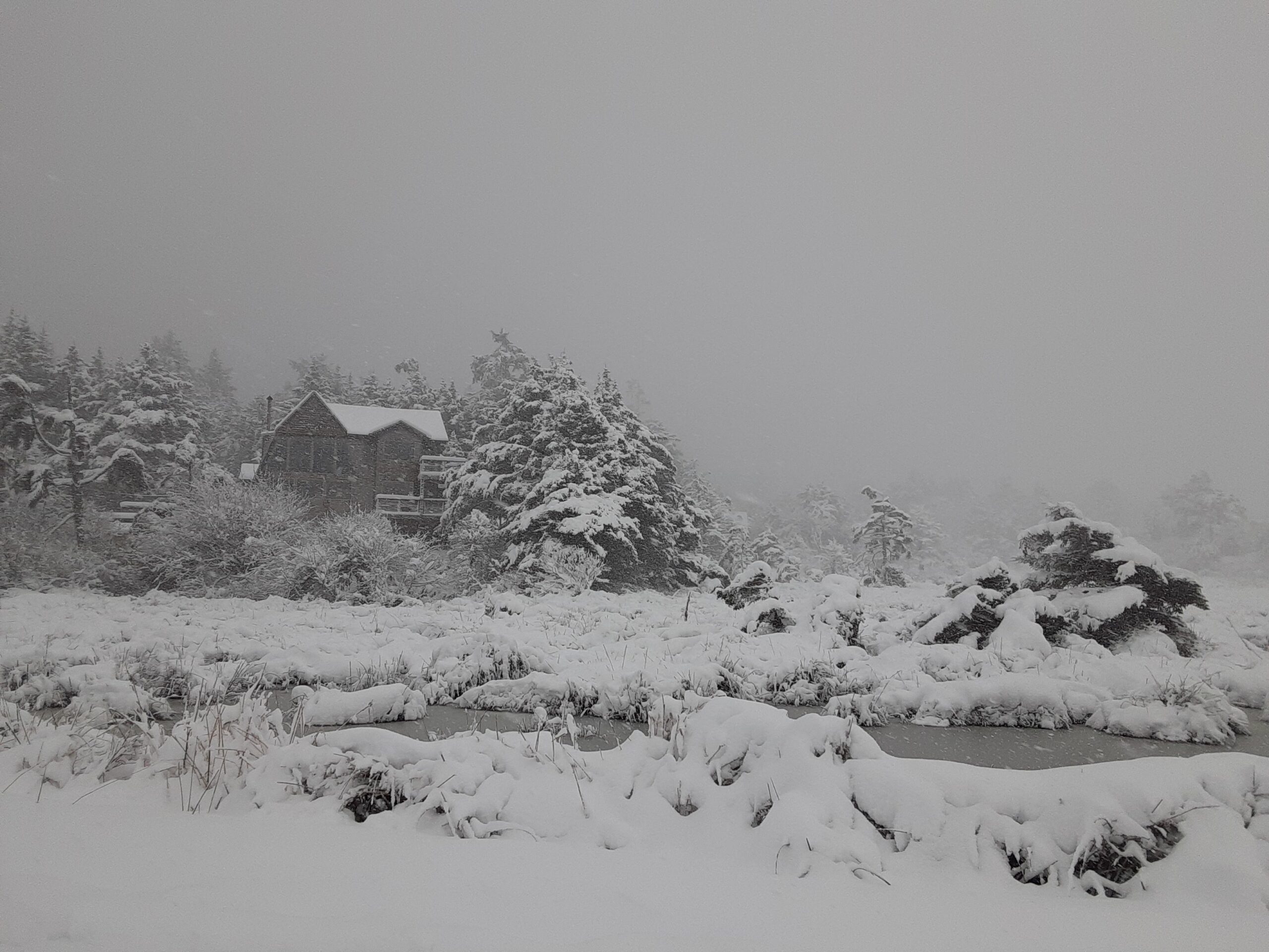
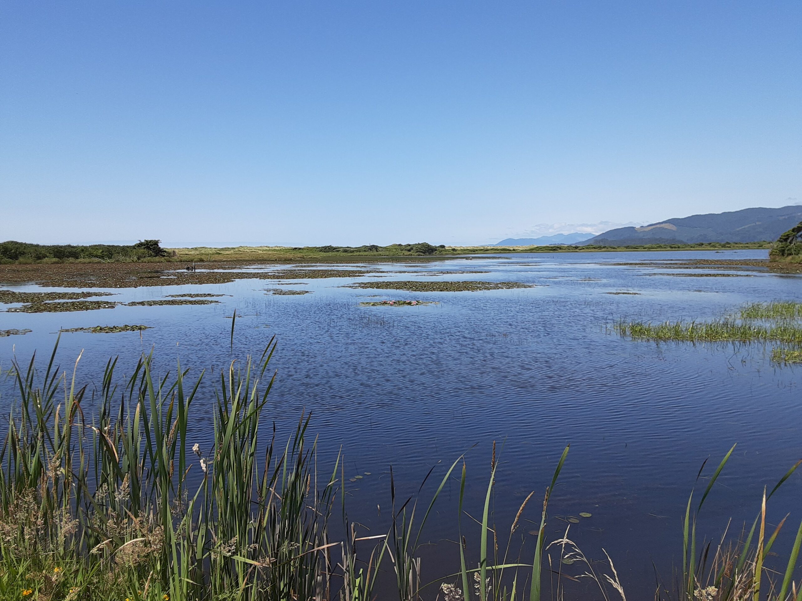
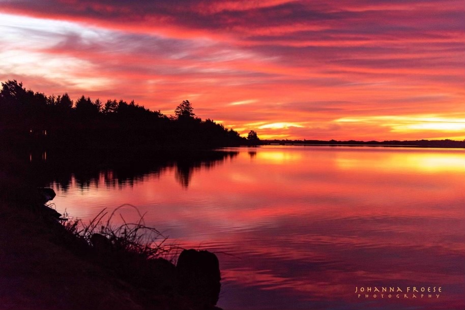
Cape Meares Lake Photo Gallery